This paper combines international key principles and definitions of the most relevant eco-nomic terms and approaches of economic analysis...
mehr lesen
The aim of this study was to provide suggestions for improvement of methods, parameters and endpoints assessed in agronomic and phenotypic...
mehr lesen
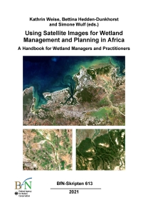
This handbook aims to demonstrate how satellite images can support information-based management and planning of wetlands, with a focus on...
mehr lesen
In 1990 we in Europe were able for the first time to employ a new, highly promising method:satellite t acking. It allowed us to investigate...
mehr lesen
After the entry into force of the Nagoya Protocol and the corresponding Regulation (EU) No. 511/2014 (EU ABS Regulation), the Member States...
mehr lesen